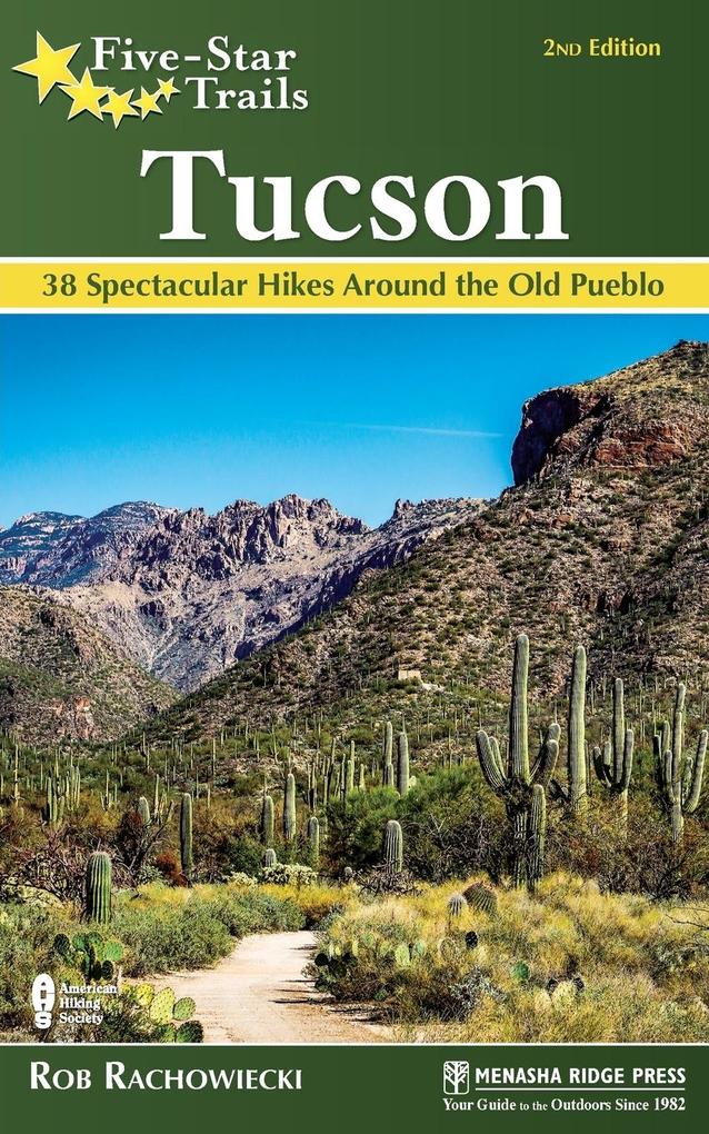
At an elevation of roughly 2,500 feet, Tucson's majestic and diverse landscape has brought two national park districts (Saguaro National Park East & West) and a national forest (Coronado National Forest) to the city's doorstep. Outdoor enthusiasts can also enjoy Sabino Canyon, Mount Lemmon, the Santa Catalina foothills, and the Tucson Mountains, all just a short distance from downtown Tucson. So it's no surprise that Tucson-based outdoor and travel writer Rob Rachowiecki refers to the city as a "hiker's nirvana."
"Having been born and raised in England, and then having spent a good chunk of my early adult years hiking and climbing in the Andes, I was not very prepared for Tucson summers," he explains. "Happily, I discovered I could escape into the mountain ranges surrounding the city, where the forests provided ideal conditions for enjoying the outdoors."
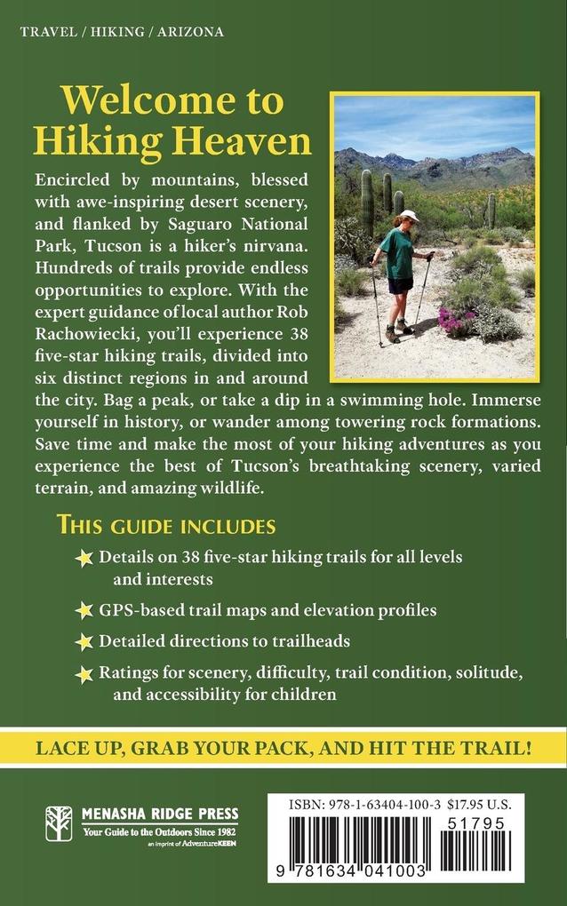
Given the dense network of trails available in the Tucson area, Rachowiecki cuts to the quick to find the area's absolute best hiking for people of all abilities. A one-stop-shop, this guide includes some of the roughest, longest day hikes in the nearby mountainous regions, as well as hikes of more moderate length and some very easy, short strolls that are more accessible, perfect for families with small children or people with limited mobility. Rachowiecki also provides his personal recommendations for hiking trails ideal for geology buffs, history lovers, family outings, mountain summits, seasonal water features, and wheelchair accessibility, among other categories. Hikers will also find detailed driving directions to trailheads, along with original, GPS-based trail maps and elevation profiles for each trail.
Inhaltsverzeichnis
Overview MapOverview Map KeyDedicationAcknowledgmentsPrefaceRecommended HikesIntroductionSaguaro National Park East and Eastern Tucson
- Saguaro National Park East: Cactus Forest-Mica View Loop
- Saguaro National Park East: Douglas Spring and Bridal Wreath Falls Trails
- Saguaro National Park East: Freeman Homestead Trail
- Saguaro National Park East: Garwood Dam Loop
- Saguaro National Park East: Tanque Verde Ridge Trail
- Tanque Verde Falls Trails
- Zimmerman Trailhead to Three Bridges
Sabino Canyon
- Blackett's Ridge Trail
- Hutch's Pool
- Phoneline Trail
- Sabino Canyon Road
- Seven Falls on Bear Canyon Trail
Mount Lemmon
- Babad Do'ag Trail
- Incinerator Ridge Trail
- Marshall Gulch Loop
- Meadow Trail Loop
- Molino Basin Trail
- Wilderness of Rock Loop
Santa Catalina Foothills
- Catalina State Park: Nature and Birding Loops
- Catalina State Park: Romero Canyon Trail to Romero Pools
- Finger Rock Trail to Mount Kimball
- Linda Vista Loop
- Pima Canyon Trail to Mount Kimball
- Pontatoc Ridge Trail
- Ventana Canyon to Maiden Pools and The Window
Saguaro National Park West, Tucson Mountains and Tortolita Mountains
- Saguaro National Park West: Hugh Norris Trail to Wasson Peak
- Saguaro National Park West: Sweetwater Trail to Wasson Peak
- Saguaro National Park West: Thunderbird Loop
- Sentinel Peak
- Tucson Mountain Park: Brown Mountain Loop
- Tucson Mountain Park: Yetman Trail
- Wild Burro Loop
Madera Canyon Area
- Bog Springs-Kent Spring Loop
- Dutch John Spring Trail
- Nature Trail and Madera Creek Trail
- Old Baldy Trail to Mount Wrightson
- Super Trail to Mount Wrightson
- Madera Canyon: Wheelchair-Accessible Loops
Appendix A: Outdoor RetailersAppendix B: Map ResourcesAppendix C: Hiking ClubsIndexAbout the Author