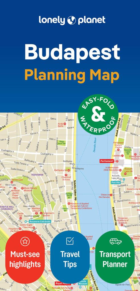
Experience your dream trip with Lonely Planet's Budapest City Map, the ultimate travel tool to help you plan and navigate your way around amazing local sights, landmarks and attractions.
Slip into the Széchenyi Baths, marvel at the symbolic Heroes' Square, attend a performance at the Hungarian State Opera House and decide where you want to go next and what you want to see in each of the city's exciting neighbourhoods.
Inside Lonely Planet's Budapest City Map:
- Full colour map in a durable easy-fold format
- Sheet size: 24.8" (630mm) wide x 19.5" (494mm) high, folded size: 3.74" (95mm) wide x 7.76" (197mm) high
- Waterproof and packaged in a handy slipcase
- Alphanumeric grid to find points of interest easily
- Public transport explained to help you get around
- Top picks of must-see highlights including Parliament, Basilica of St Stephen, and Royal Palace
- Essential travel tips and nuts and bolts information on local words and phrases, walking tours, tickets, and travelling to and from the airport
- Beautiful photography and bonus zoomed-in Budapest Transit Map
- Covers: Angyalfold, Belvaros, Castle Hill (Varhegy), Erzsebetvaros, Felheviz, Gellert Hill (Gellert-Hegy), Jozsefvaros, Krisztinavaros, Lipotvaros, Loportardulo, Matyashegy, Obuda, Orszagut, Remetehegy, Rozsadomb, Taban, Terezvaros, Ujlak, Ujlipotvaros, Varos-Liget, Vizafogo, Vizivaros
Get ready for your next adventure with Lonely Planet's Budapest City Map, the ultimate navigation tool to help you explore Budapest's well-known attractions and best-kept secrets.