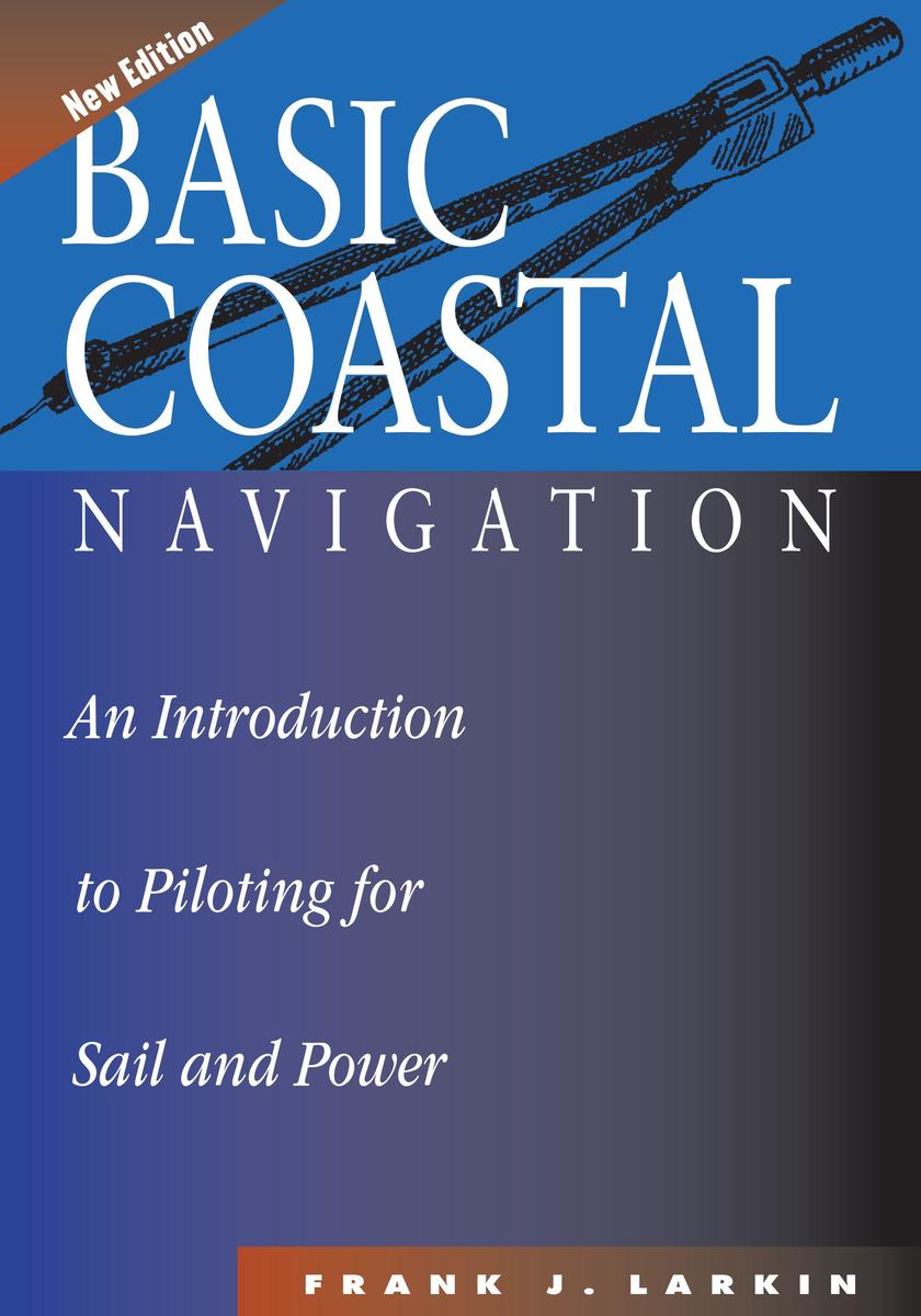
This clear and accessible introduction to coastal navigation outlines most of the techniques of piloting that are still fundamental to safe navigation even with modern electronic aids. Step-by-step, the reader is guided from simple to more complex piloting solutions. In addition to dead-reckoning techniques, the author covers tides and currents and explains how to use LORAN C and GPS. There are numerous illustrations throughout the text and practice problems at the end of each chapter.
Key Advantages: fully updated new edition, perfect for sail and power, clear layout and instructions, comprehensive overage of all aspects of coastal navigation, review questions and answers, and suitable for self-study and Coast Guard or other similar courses.
Inhaltsverzeichnis
Introduction
1. Nautical Charts
2. Navigational Reference Publications and Almanacs
3. The IALA-B Aids to Navigation Systems
4. How to Use the Basic Navigational Instruments
5. Measuring and Plotting Latitude and Longitude
6. How to Plot a True Course on a Nautical Chart
7. How to Measure Distance on a Nautical Chart
8. Military Time
9. Calculating Your Dead Reckoning Position
10. Converting True Courses to Compass Courses
11. Taking and Plotting Bearings
12. Dead Reckoning
13. Piloting Exercise: A Typical Day Cruise
14. Electronic Navigation Systems
15. The Height of the Tide at Any Time
16. Compensating Your Course for Current and Other Elements
Appendices
Glossary
Index