







Das eBook.de Hörbuch Abo - jederzeit, überall, für nur 7,95 € monatlich!
Jetzt entdecken
mehr erfahren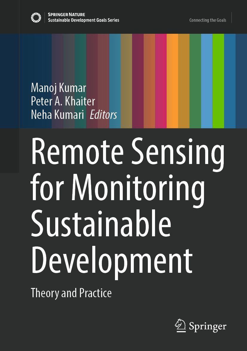
This contributed volume presents a focused orientation on the use of remote sensing-based indicators and monitoring tools for sustainable development reporting. The book offers cases studies that illustrate methodological approaches for providing timely information across scales. The contents her primarily focuses on remote sensing applications for land use and land cover change in the context of climate change and sustainable development, but chapters also cover topics such as urban forestry, landslides and glaciological hazards, desertification and land degradation, carbon stock monitoring, and more.
Inhaltsverzeichnis
Remote Sensing for Sustainable Development: Theory and Practice. - From Pixels to Predictions: Machine Learning as the New Frontier in Land Use Land Cover Classification. - Advancing Land Use and Land Cover Mapping: Integrating Remote Sensing Data and Classification Methods. - Advanced Computational Methods and Machine Learning Applications in Remote Sensing for Sustainable Land Management. - Remote Sensing in Land Cover Change Studies: Cases of Australia and Africa. - Cadastral Digitization Prelude, Problems and Probable Solutions in the Plains. - Application of geographic information systems and remote sensing in achieving Sustainable Development Goal 11 with reference to Urban Forestry. - Assessing Glaciological Hazards in Mountain Regions using Remote Sensing and GIS Modelling Techniques. - Remote Sensing Applications for Landslide Risk Assessment. - Application of Remote Sensing and Machine Learning in Landslide Susceptibility Mapping for the North-eastern Region of India. - The role of remote sensing in desertification research with a case study of La Guajira, Colombia. - Remote Sensing for Monitoring Forest Resources. - Remote Sensing in Deforestation Studies: Past, Present and Future. - Operational Remote Sensing and Machine Learning for Sustainable Forest Management and Conservation. - Assessment of Biodiversity Status and its Significance in Lahaul-Pangi and Kinnaur Landscapes of Himachal Pradesh, India. - Applications of Remote Sensing in Monitoring and Assessment of Forest Fires. - Advancements in Remote Sensing for Carbon Stock Estimation: A Comprehensive Review of Methods and Emerging Technologies. - Sub-national level forest carbon stock assessment of Nepal. - Remote Sensing Applications for Estimating Mangrove Carbon Stocks. - Remote Sensing and GIS-Based Approaches for Estimating Above- ground Biomass in Forest Ecosystems: A Review. - Remote Sensing Applications for Assessing Forest Vulnerability to Climate Change. - Comprehensive Bibliometric Review of Urban Heat Island Studies using Remote Sensing with a Focus on India.
Es wurden noch keine Bewertungen abgegeben. Schreiben Sie die erste Bewertung zu "Remote Sensing for Monitoring Sustainable Development" und helfen Sie damit anderen bei der Kaufentscheidung.