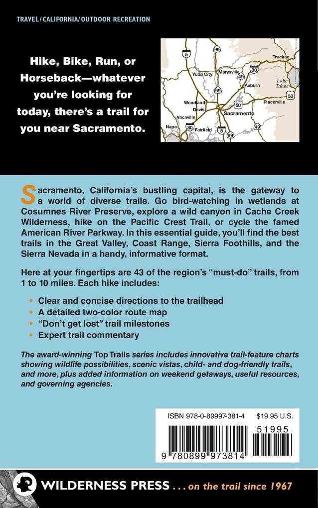
Whatever you're looking for today, there's a trail for you near Sacramento.
Near California's capital city, numerous trails access the Central Valley's wildlife-filled wetlands and traverse riverside forests and grasslands. In the Coast Range and Sierra foothills, trails lead to scenic waterfalls, wildflower-studded meadows, and high mountain lakes. Longtime Sacramento resident and intrepid hiker Steven L. Evans has selected the 43 must-do hikes, the majority of which are within two hours of the city. Whether you're looking for a scenic stroll, a full-day adventure, or even a spectacular alpine peak-bagging trip, you'll find it here. Trails range from 1 to 10 miles and from sea level to 9,000 feet, and each trip includes elevation profiles, detailed maps, driving directions, and trail milestones.
Inhaltsverzeichnis
Sacramento Region Map Sacramento Region Trails Table Using Top Trails
Organization of Top Trails
Choosing a Trail Introduction to the Sacramento Region
Geology, Topography, Hydrology, and Climate
Ecoregions of the Sacramento Area
California Central Valley Grasslands Ecoregion (Great Valley)
California Woodlands and Interior Chaparral Ecoregion (the Coast Range and Sierra Foothills)
Sierra Nevada Forests Ecoregion (Sierra Nevada) On the Trail
Have a Plan
Carry the Essentials
Less than Essential, but Useful
Trail Etiquette Chapter 1: The Great Valley 1. Bobelaine Sanctuary Trails: Feather River 2. River Walk Trail: Cosumnes River Preserve 3. Deer Creek Hills Preserve Trails 4. Delta Meadows State Park and Historic Locke 5. Effie Yeaw Natural Area Loop Trail6. Gibson Ranch Regional Park Loop Trail 7. Wetlands Discovery & Loop Trails: Gray Lodge Wildlife Area 8. Sutter Buttes Trails 9. Howard Ranch Trail 10. Jedediah Smith Memorial Trail Loop: American River Parkway 11. Lake Natoma Loop: Folsom Lake State Recreation Area 12. Sacramento Northern Bikeway 13. Sacramento Waterfront Loop 14. Wren Wetlands Trail: Stone Lakes National Wildlife Refuge Chapter 2: The Coast Range 15. Blue Ridge Trail: Cache Creek Natural Area 16. Cache Creek Ridge Trail: Cache Creek Natural Area 17. Redbud Trail: Cache Creek Wilderness 18. Cold Canyon-Blue Ridge Loop Trail: Stebbins UC Reserve Chapter 3: Sierra Foothills 19. North Yuba River Trail 20. Humbug Creek-South Yuba Trails: South Yuba Wild & Scenic River 21. Empire Mine State Historic Park Loop Trails 22. Shingle Falls Trail: Spenceville Wildlife Area 23. Stevens Trail: North Fork American Wild & Scenic River 24. Codfish Falls Trail: Auburn State Recreation Area 25. American Canyon Trail: Auburn state Recreation Area 26. Western States Trail: El Dorado Canyon 27. Western States-Riverview Trails: Auburn State Recreation Area 28. Olmstead Loop Trail: Auburn State Recreation Area 29. Cronan Ranch Loop: South Fork American River 30. Marshall Gold Discovery State Historic Park Loop Chapter 4: The Sierra Nevada 31. Mount Judah Loop Trail 32. Pacific Crest Trail: Castle Peak Area 33. Salmon Lake Trail to Loch Leven Lakes 34. Grouse Lakes Loop Trail 35. Picayune Valley Trail: Granite Chief Wilderness 36. Lake Margaret Trail: Caples Creek Proposed Wilderness 37. Granite and Hidden Lakes Loop 38. Shealor Lake Trail: Caples Creek Proposed Wilderness 39. Winnemucca-Round Top Lakes Loop: Mokelumne Wilderness 40. Caples Creek-Silver Fork Loop: Caples Creek Proposed Wilderness 41. Horsetail Falls Trail 42. Twin Lakes Trail: Desolation Wilderness 43. Lyons Creek Trail: Desolation Wilderness Appendices
Top Rated Trails
Weekend Getaways
Governing Agencies
Major Organizations
Useful Resources
Maps Index Author