Zustellung: Di, 12.08. - Sa, 16.08.
Versand in 3 Wochen
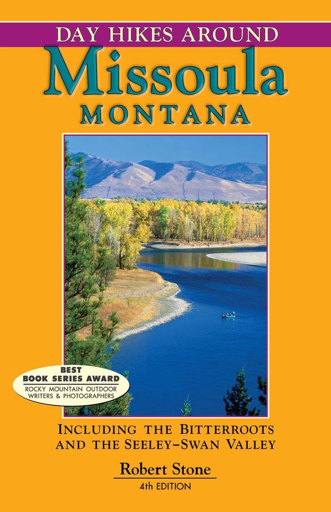
VersandkostenfreiMissoula is an active university town rich in character that is set in the midst of stunning scenery. The city lies at the hub of five merging valleys and is surrounded by mountain ranges and national forests, making the area home to some of the finest alpine hiking in Montana. These 102 day hikes range from popular overlooks of Missoula (including the "M") to remote backcountry trails through stream-fed canyons. Many hikes are found in the Bitterroot Range, the Seeley Swan Valley, and within the city itself. Highlights include dramatic waterfalls, steep canyons, fertile valleys flanked by mountain ranges, panoramic views, suspension bridges, and historic sites from the Lewis and Clark voyage. Spectacular scenery and hikes for every level of experience."
Inhaltsverzeichnis
Each hike includes a summary, driving directions, hiking directions, and a map. (1) Northeast Missoula: Rattlesnake National Recreation Area (2) Mount Jumbo Recreation Area and East Missoula (3) North Hills and Rattlesnake Valley (4) Missoula: City of Missoula, Mount Sentinel, Pattee Canyon Recreation Area, South Hills (5) Blue Mountain Recreation Area (6) Northwest Missoula: Frenchtown and Ninemile Valley (7) Southwest Missoula/Highway 12: Lolo to Lolo Pass, including the Fish Creek Drainage (8) Lolo Pass into Idaho (9) Bitterroot Valley (10) Rock Creek Drainage (11) Blackfoot River Recreational Corridor (12) Seeley-Swan Valley (13) Index
Produktdetails
Erscheinungsdatum
19. März 2013
Sprache
englisch
Auflage
4th edition
Seitenanzahl
272
Autor/Autorin
Robert Stone
Verlag/Hersteller
Produktart
kartoniert
Gewicht
320 g
Größe (L/B/H)
213/139/20 mm
ISBN
9781573420662
Entdecken Sie mehr
Bewertungen
0 Bewertungen
Es wurden noch keine Bewertungen abgegeben. Schreiben Sie die erste Bewertung zu "Day Hikes Around Missoula, Montana" und helfen Sie damit anderen bei der Kaufentscheidung.


